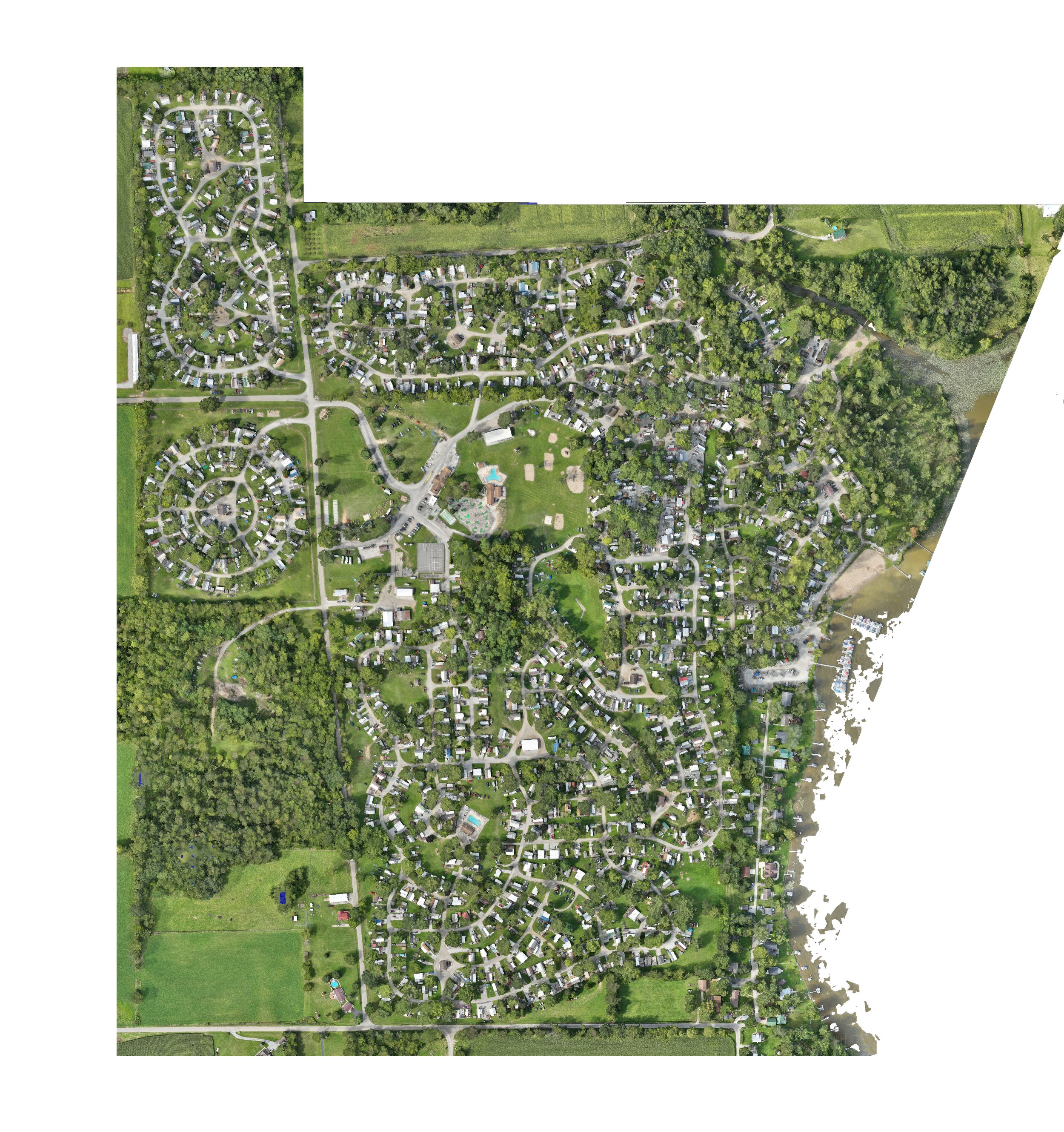
When Precision Counts
You can count of Falcon Unmanned Systems orthomosaic mapping services. We operate the fastest and best multi-rotor aircraft carrying the right sensors for your mission. We use state of the art high precision GNSS systems that allow us to create our own reference points or tie into your existing points. We fly in dense urban jungles and remote rural areas. If you need high volume, high precision mapping, you’ve come to the right place.

If you need high resolution, low GSD mapping or large area mapping or both, we’ve got you covered. We have waivers that allow us to operate our aircraft beyond line of site or operate multiple aircraft simultaneously.

