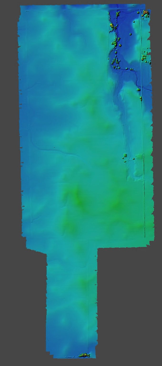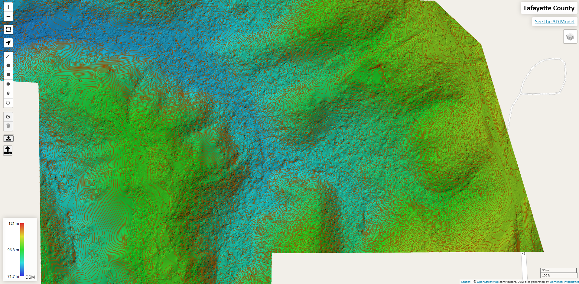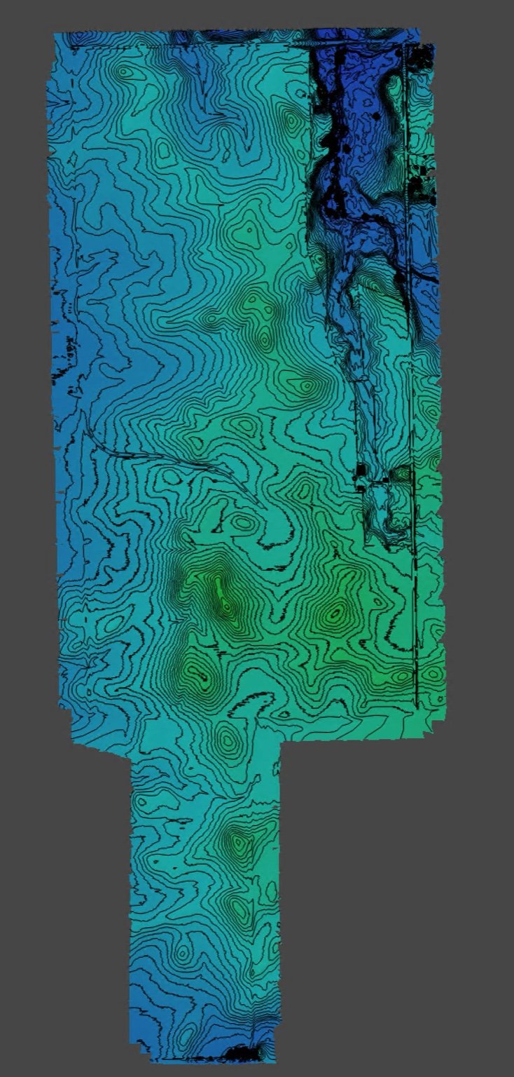
Contour mapping is one of the most commonly asked for and most useful services we provide. The high resolution contour maps we create via LiDAR or photogrammetry help engineers, architects, and planners of all kinds. We deliver them to you in whatever format and coordinate reference system you require.